The View From Afar: Satellites, Google Earth…
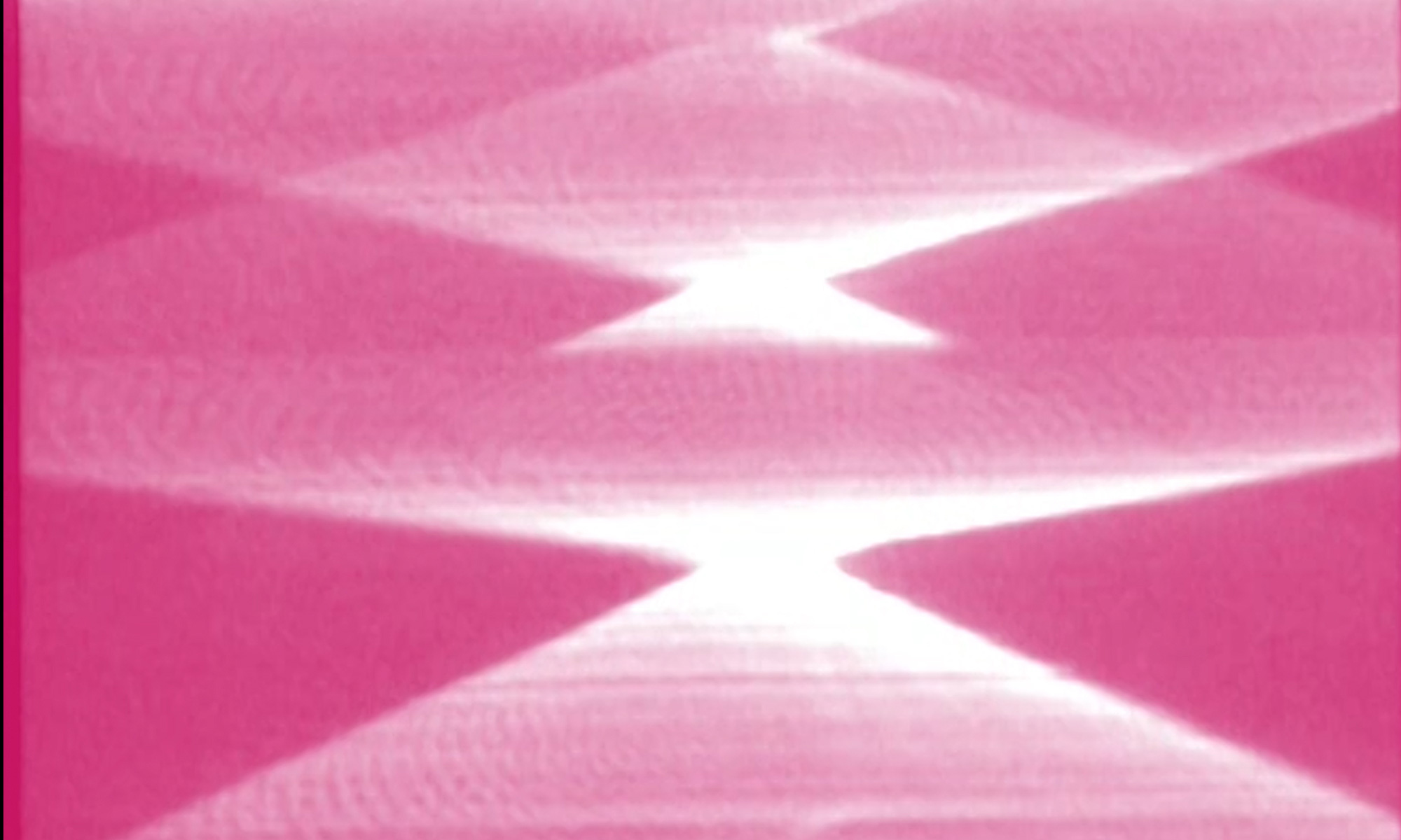
The First Color Movie of the Planet Earth, NASA, 11968
Time-lapse footage of the Earth captured by the NASA ATS III satellite in 1968. ATS III was an American geostationary weather and communication satellite that was operated by NASA from 1967-2001.
Preview of info from next week’s reading:
Three technology paradigms: GPS, Remote Sensing Satellites, GIS
Progression of Remote Sensing Satellites demonstrates a “techno-political transformation of access to remote-sensing imagery.”
Corona – American, aimed mostly at cold war opponents (1959-1972)
Landsat (1972- ): Landsat viewer – good resolution for tracking patterns related to climate change; site links to FOIA
Spot (France, (1886- )
Ikonos (USA, 1999- )
GeoEye – for example, natural disasters
SOME ARTISTS EXPLORING SATELLITE TECHNOLOGIES
(among other technologies)
// Trevor Paglen
Artist, experimental geographer
SOME PROJECTS
Black Sites
Limit Telephotography
The Other Night Sky
Undersea Cables
Landing Sites
Autonomy Cube
Interview: Moving Through the Night Sky
/ Laura Kurgan
earlier satellite work
9/11 Four Days Later. Other projects look at rain forest deforestation and war in Kosovo.
Laura Kurgan – Columbia Center for Spatial Information (+ more on their work in future: Projects)
In Plain Site (watch later)
also:
Conflict Urbanism: Urban Language Ecologies
Million Dollar Blocks
Much more! We will revisit when we are looking more at mapping and using data.
Kurgan and Paglen here, in this article: Arts, Sciences and Exploratory Procedures
// Brian Springer
Trawled television satellite feeds (when they used to be unsecured) for unauthorized footage of public figures, mostly politicians:
Spin (1990s) 1hr
A COUPLE OF PROJECTS USING DRONES
// Susana de Sousa Dias
Fordlandia Malaise (2019)
Postcards depict the colonization of the Amazon jungle to build Fordlandia, a land of rubber and recklessness. Locals tell stories of the spirits and folklore that haunt the decimated landscape.
//Waafa Bilal
Dead Serious (2014)
documentation: Dancing with Drones
PROJECTS EXPLORING VIRTUAL GAMING / 3D ANIMATION SPACES
[NOTE: not available online, but FYI]
// Harun Farocki
Parallel II and Parallel III (2014) 15min
// Peggy Ahwesh
The Falling Sky (2017) 10min
//Sondra Perry
It’s In the Game
GOOGLE EARTH / GOOGLE STREET VIEW
Some projects using Google Earth and Google Street View
Its always clear on Google Earth – Last Clouds
Jodi.org – geogoo.net
Clement Valla – Postcards from Google Earth – about
Paolo Cirio – Street Ghosts
Street Views by Annie Berman (we watched video in class last week)
John Rafman – 9 Eyes
Article: The Nine Eyes of Google Street View
More on Remote Seeing or Isometric Views
John Haddock – The Screenshots
Isometric views of iconic historical moments seen as if in a video game.
Harun Farocki – Eye Machine I, II, III – Exploring new paradigms of automated vision and automated weapons technology.
http://www.vdb.org/titles/eyemachine-i-ii-and-iii
(trailers on Video Data Bank)
///
Exercise for next week: Google Earth Dérive
-Download Google Earth or access in your browser
-Explore the different data layers, etc.
– Notice what kinds of metaphors are used in the interfaces and how you are being encouraged to explore the world through its interface.
-Explore a few different geographical locations around the world and see if they have Google Street View. Consider why or why not.
-Visit a place that intrigues you, not in NYC.
-Switch into Street View.
-Find a striking, poetic or uncanny image – a person, a landscape, a glitch, something unexpected, etc.
-Get the GPS location (lat/long/elevation) if possible
-Make a screenshot or otherwise capture the image. OR Use Earth Studio to make a little animation.
– Upload the images into a folder with your name with your name in google drive (folder to follow) by next class.